
DGPS / RTK Rover
വലിയ site control, coordinate mapping, boundary restoration, accurate positioning എന്നിവയ്ക്ക്.
DGPS, RTK Rover, Total Station, Digital Level എന്നിവ ഉപയോഗിച്ചാലും, site setup, control points, records reading, field judgement എന്നിവയാണ് final output വിശ്വസനീയമാക്കുന്നത്.
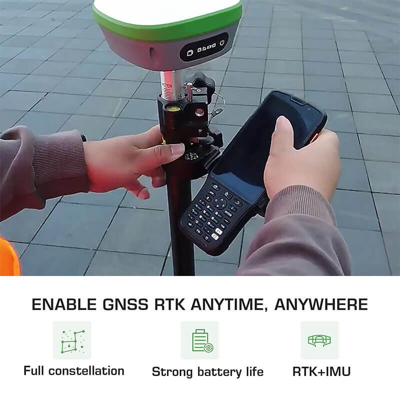
വലിയ site control, coordinate mapping, boundary restoration, accurate positioning എന്നിവയ്ക്ക്.
Boundary marking, construction setout, subdivision, detailed site measurement എന്നിവയ്ക്ക്.
Level difference, drainage planning, road work, foundation planning എന്നിവയ്ക്കുള്ള elevation data.