
DGPS
Differential GPS is used when location accuracy and larger-site control matter. It supports high-precision positioning for plots, infrastructure and development work.
Good survey output depends on the right instrument, the right setup and careful interpretation. Gridworld combines equipment accuracy with practical site judgement.
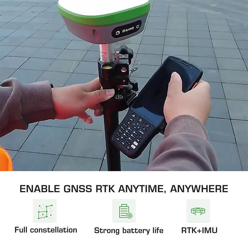
Differential GPS is used when location accuracy and larger-site control matter. It supports high-precision positioning for plots, infrastructure and development work.
Total Station instruments measure distance and angles electronically. They are suited for boundary marking, construction setout, subdivision and site measurement.
Digital levelling helps capture elevation differences for roads, drainage, foundations and contour-related work with less manual reading error.
The instrument records data. The surveyor makes it useful.
Send the plot purpose and location. We will guide you on the suitable survey method.